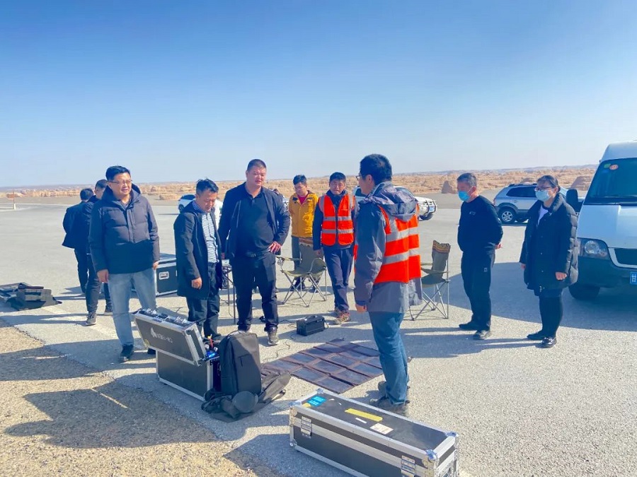
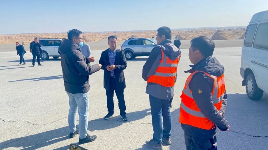
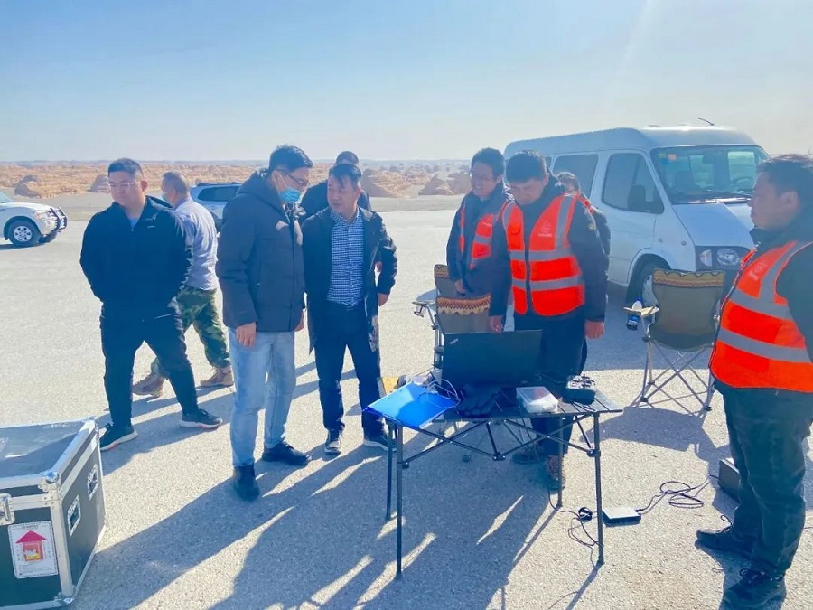
On March 1, Comrade Wang Jin, Deputy Secretary of the Dunhuang Municipal Committee, visited Yardang Geoarea to investigate and research Yardang 3D modeling work, accompanied by Comrade Zhang Yiming, Director of Yardang Service Center. The work was technically supported by Gansu Provincial Map Institute. During the inspection, the leaders of Yadan Service Center introduced in detail about the specific implementation plan of the 3D modeling project and the detailed process of aerial photography and mapping by drones.

During the inspection, Zhao Yuan of the Provincial Map Institute gave a specific introduction to the municipal leaders on the facilities and equipment used for this aerial survey and how the UAV measurement acquires and transmits attitude data.

It is understood that the three-dimensional modeling work of the yardang body is one of the key tasks of the Yardang Service Center in 2023. The three-dimensional modeling of key yardang body can realize the visual management of yardang body, build a firm spatio-temporal data base for the construction of Dunhuang yardang intelligent geoarea, can effectively promote the development, protection and utilization of Dunhuang yardang geosites, and provide scientific basis for Dunhuang geological environment, ecological environment changes and other scientific research cooperation. Next, the Yardang Service Center will continue to improve the real-world 3D modeling work, promote the geopark towards digitalization and wisdom, and help Dunhuang geological science and research activities of high quality development!

 简体中文
简体中文
